

Navionics Nav Plus SD North America
C$299.95Excl. tax
Backorder
Product description
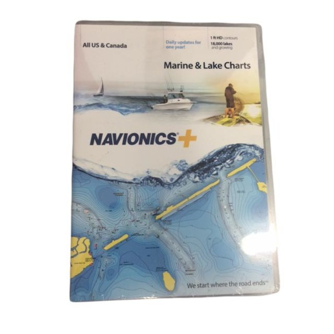
Navionics Marine & Lake Charts - All US & Canada
Max detailed cartography for cruising, fishing and sailing!
- The best-sellinf boating maps in the world for marine areas and a growing list of more than 18,000 lakes in US and Canada.
- View detailed shorelines with marinas, docks, and boat ramp locations.
- Increase your awareness of shallow waters and hazardous areas at any depth level level including shoals, rocks, wrecks and more.
- Target underwater structure with up to 1 ft HD contours to find the best fishing locations: roadbeds, foundations, bridges, brush piles, culverts and creek channels.
- Consult tides and currents to plan your boating activities.
Reviews
0 reviews
Specifications
Article number
MSDNAVNI
EAN Code
82124597511
SKU
MDSNAVPLUSNI